
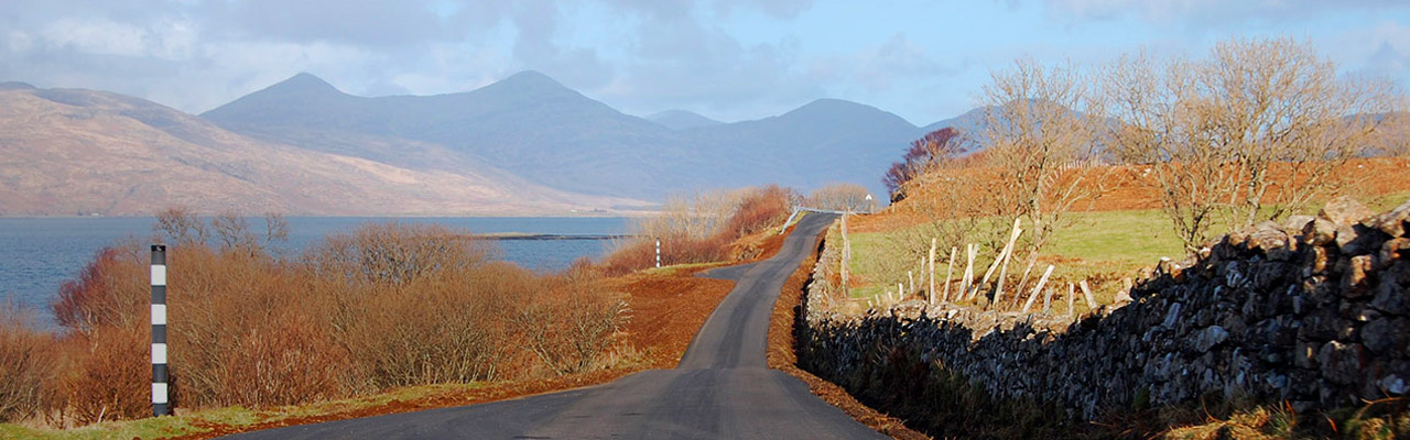
The Agreed Routes Map for Highlands can be accessed here
An interactive GIS map showing where timber is forecast to come onto the public road network and the volumes of timber expected on the local roads is available through the timber transport group.
The National Forest Inventory 25-year projection of timber availability in the Highland Council area is available on the NFI webpages.
